
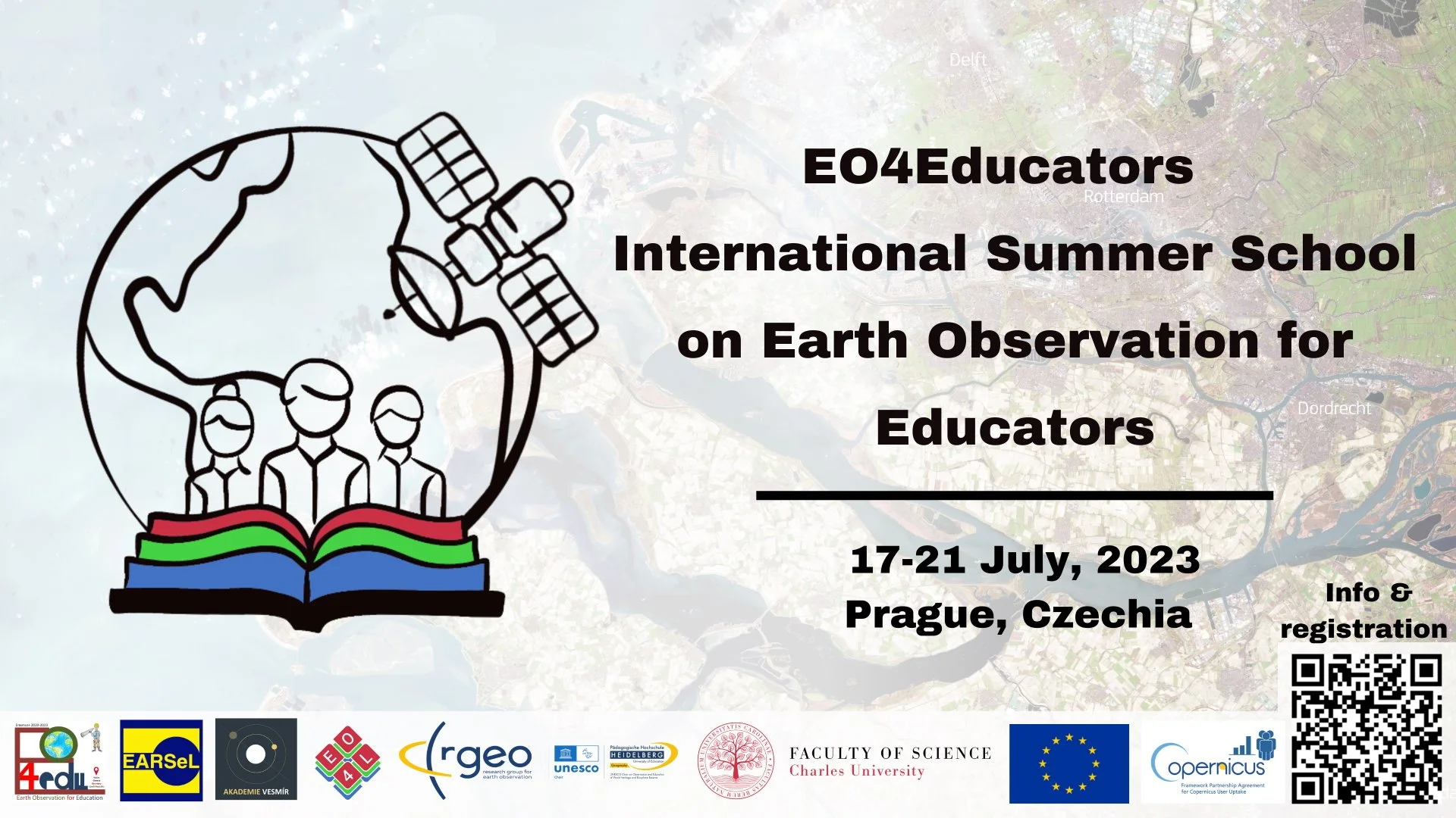
The EO4Educators 2023 International Summer School on Earth Observation for Educators
This summer school is the perfect opportunity for scientists, teachers, and educators to exchange ideas, learn about modern teaching methods around Remote Sensing/Earth Observation (EO) and to exploit the results of our project EO4Edu . It will take place in Prague, Czechia from July 17th to July 21st, 2023.
The international expert team of lecturers will provide hands-on training, lectures, and discussions around EO, data services, and GIS, and share their insights on integrating EO into teaching.
The summer school is open to nationals of (or those living/working in) all EU Member States and participation is free of charge.
Read more on the official website: EO4 Educators
Twitter Feed:
ZŠ Bílá - EarthKAM
Students from ZŠ Bílá used EarthKam to investigate locations on Earth from satellite aerial photography.
The students created info cards describing the location they saw in the EarthKam photos, including interesting facts they found out whilst researching the area.
April 2022 Partner Meeting

E04Edu partners participated in a meeting hosted by ZS BÍLÁ School in Prague.
The meeting was a great opportunity for ZS BÍLÁ to showcase the work they had done with pupils in the early stages of the project, and for other school partners to brainstorm ideas on how to implement EO in their lessons. The university partners delivered Earth Observation training to the participating schools and teachers, to enhance their understanding of EO and how it can be used. This training will form the basis for the training courses provided by the project upon completion.
This was followed by training sessions on apps and software the project is building which will allow for lesson development within the existing curricula. Testing and subsequent feedback will ensure the apps are engaging and easy to use for a variety of ages and class sizes.
-

Examples of posters produced by the students of ZS BÍLÁ School following a lesson centred around the use of satellite imagery. The imagery was used to identify large man made (anthropogenic) structures, such as reservoirs or man made lakes and compare these to natural land formations such as mountains and rivers.
-

Examples of posters produced by the students of ZS BÍLÁ School following a lesson centred around the use of satellite imagery. The imagery was used to track visible changes to the earth over time, usually caused by human activity. Human activity, when in the context of Earth Observation, is called anthropogenic activity.
-

Examples of posters produced by the students of ZS BÍLÁ School following a lesson centred around the use of satellite imagery. This exercise involved identifying the location of the provided imagery and writing a short description of what the students could see and the facts they could find about the area. This exercise was combined with the student’s English lessons as the descriptions were written in English.
-

More examples of the work done by the ZS BÍLÁ students, showing the global extent of the locations used in the exercise.

The partners hard at work during a training session into the building and use of KoBoToolBox projects, and how these can be designed to add extra elements to EO lessons and worksheets.